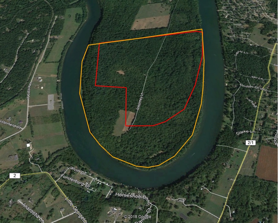
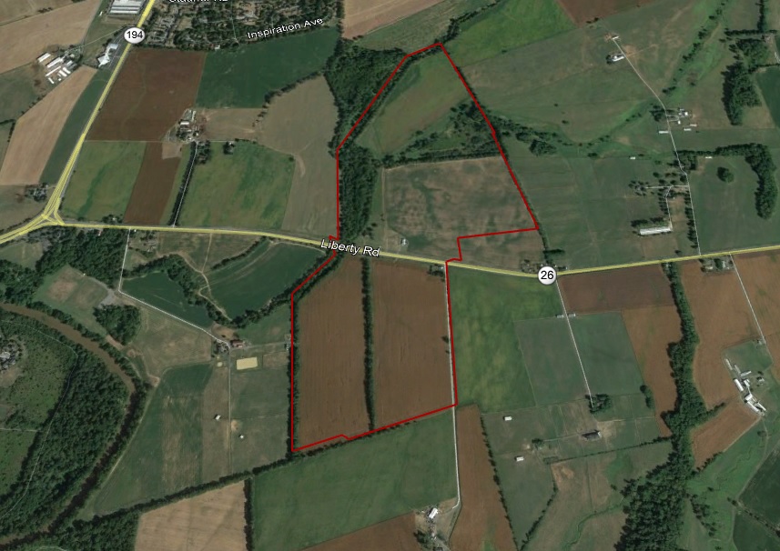
Upper Indian Bottom Prince Georges Co. Patent 2218 for 200 acres (Red outline) was patented to John Hamblin/Hamilton in 1742 . In Washington County Deed (E-125 1786) for 200… Read More
Provincial Court Deeds 1658-1790
During a deed search you may fail to locate the deed for your ancestor. A location that is often overlooked are the Provincial Court Deeds. While a person had many… Read More
Election District Patent Maps
The Historical Society of Carroll County maintains a resource, which is part of the Dr. Arthur G. Tracey Collection, that may be of value to researchers. For the counties of… Read More
Current Property Tax Maps
Maryland Department of Assessments & Taxation provides online access to current property owners and tax maps. Current properties only-earlier maps are not available at this site. (SDAT: Real Property Search)… Read More
1977 Property Tax Maps
The Maryland State Archives has available online, for most counties, property tax maps for this period. The maps not only provide property outlines, but in most cases show the deed… Read More
George Horvath Patent Maps
George Horvath Patent Maps cover various locations in Carroll, Frederick and Baltimore County. Maps are available at the Historical Society of Carroll County Maryland. George Horvath Patent Maps PDF … Read More
Debt Books & Rent Rolls
Debt Books & Rent Rolls are the early property tax records for Maryland. The records cover the period from 1639-1777. These records ceased to be used during the early part… Read More
Sebastian Graff (Frederick County)
Sebastian Graff 1798 (Deed WR 15-258) from James Beatty of Fayette County Kentucky for 191 acres (Part of Dulanys Lott). Land sold to John P. Thomson (Deed JS 32-264) in… Read More
County Atlases
One of the best locations for state wide County Atlases is the Maryland State Archives site “Legacy of Slavery in Maryland”. The site is searchable for property owners. Note: Number… Read More
Deed Site
Deeds are found in two record areas (County & Provincial Court). Deeds were the first step when land was sold from patented lands. When a deed was made this means… Read More

