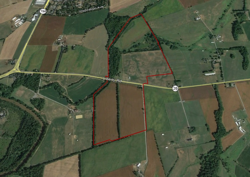
Sebastian Graff 1798 (Deed WR 15-258) from James Beatty of Fayette County Kentucky for 191 acres (Part of Dulanys Lott). Land sold to John P. Thomson (Deed JS 32-264) in… Read More
Month: March 2018
County Atlases
One of the best locations for state wide County Atlases is the Maryland State Archives site “Legacy of Slavery in Maryland”. The site is searchable for property owners. Note: Number… Read More
Deed Site
Deeds are found in two record areas (County & Provincial Court). Deeds were the first step when land was sold from patented lands. When a deed was made this means… Read More
Deeds
Deeds were the first step when land was sold from patented lands. When a deed was made this means all monies have been paid to the seller. The buyer may… Read More
Patent Site
Patent process begins with an individual obtaining a warrant from the State or Crown for a certain number of acres. All or part of the warrant could be sold or used… Read More
Patents
Patents are the beginning of the land history for Maryland starting around 1650 and continue up to this day. Maryland land has a unique feature compared to other states. Lands… Read More
Locating Records at the Maryland State Archives
To locate records at the MSA a Series ID will be listed. Many future posts will show this number such as Series ID: SM129. To access the records go to… Read More
Availability of Land Records
Maryland land records are composed of warrants, patents, certificates of survey and deeds. Warrants show an individual applying for a certain number of acres to be surveyed. Patent record books,… Read More
Why Use Land Records?
Land records can provide family relations as well as property location. Examples where they come in handy is for people who were in the area between census years. Deed indexes… Read More
